

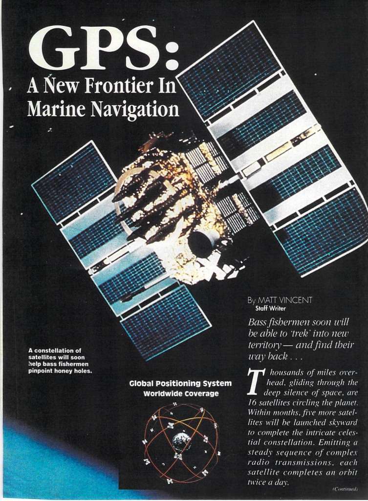
Next weekend, when you pull up on a brush pile on your favorite reservoir, or head out into the middle of the Great Lakes to relocate an isolated couple of rocks, remember that it wasn’t always this easy. The GPS that we take for granted today wasn’t available years ago – we’re not talking the 1950s and 1960s, but rather as recently as the early 1990s. Indeed, as a February 1991 Bassmaster article by Matt Vincent pointed out, “the long-awaited Global Positioning System (GPS)….(is) expected to become fully operational this year…”
If this new technology worked as advertised, there would be no more triangulating of landmarks to find offshore structure and cover, no guesswork or long hours of idling looking for irregularities. The console-mounted compass would become a thing of the past. GPS would be a game-changer.
Some technology savvy-anglers had previously used Loran (LOng RAnge Navigation) units to guide them. Loran, developed around World War II, was terrestrial-based (unlike GPS, which is satellite-based) and that presented limitations. Weather and the effects of sunrise and sunset had negative impacts on its effectiveness. Indeed, Vincent noted that “experts predict that GPS could eventually make Loran obsolete.” Those predictions came to fruition in 2009 and 2010, when all US, Russian and Canadian signals were phased out, although it is still used elsewhere.
It takes only two quotes from Vincent’s article to explain just how limited we were by Loran in 1991: The system had absolute accuracy “to within a quarter of a mile.” It had repeatable accuracy “advertised at 100 feet.” GPS, by contrast, was accurate “to within 50 feet – the first time, every time.”
At the time, price points were likely to be prohibitive for the average bass angler. Magellan suggested that their unit would sell for about $2,700. Humminbird was quoted as stating that they intended “to undersell the competition, adding that fishermen can expect to pay ‘somewhere in the neighborhood of $2,000” for one of its GPS units – a wealthy ‘neighborhood’ by most standards.
Vincent was once again prescient in his prediction that the prices would eventually drop. A quick look through Bassproshops.com today shows 27 different GPS models for sale, ranging from $199.99 (Lowrance Mark-4 Fishfinder/Chartplotter) up to $2,799.99 for top of the line models from both Humminbird and Lowrance. The latter include features that Vincent could only jokingly dream of two decades ago, like split screen displays, side-imaging, and mapping chips.
Today, even the casual weekend angler is likely to have GPS in his boat, in his tow vehicle and likely on his smartphone as well. Meanwhile, while none of the pre-1991 bass pros have offered to give up their technological advances, there’s plenty of grumbling about the new generation of anglers not paying their dues. “I’d like to see them compete with just a flasher and a topo map,” is an oft-heard refrain.
Editor’s Note: Pete wrote this over 12 years ago, back when side imaging was in its infancy. Now down and side imaging seem like old technology, having been taken over by live imaging. The complaining about technology hasn’t stopped but this time, it seems there might be a chance some sort of restriction is placed on high tech. Another interesting turn has been the number of anglers that have forgone their electronics sponsorships and are now buying their own so they can run all three companies on their boats, “to stay competitive.” Having two high-dollar units on the boat is no longer a luxury, it’s considered stupid. If you don’t have two 12-inch units on the console and at least two more units on the bow, “you can’t compete.” anymore.
I have to say, I wish the leagues would do something about this and limit the number and type of meters you can use. But sponsorship dollars and winnings trump my opinions every time.


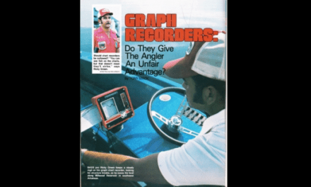
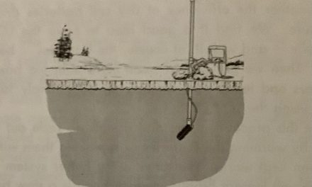


For as much as I’m on my computer and phone each day, I still stubbornly eschew most modern fishing tech. Not because I’m a Luddite or want to virtue signal my old school credentials, but rather because I just don’t want to expend the cash or the time to learn how to use these new gizmos. It’s laziness masquerading as snooty philosophy. I do have an AquaView Underwater Camera and a Vexilar Flasher that I use for ice fishing, but that’s it. I suppose if someone gave me a live imaging unit I’d install it and put it to use – I reckon I’m actually more susceptible to the new shiny object than most guys, like a moth to a porch light. But I find the simplicity of topo maps, triangulating from the big pine tree and second dock, and throwing out a marker buoy, somehow reassuring and calming. Shoot, I still have paper road maps in the truck and use them fairly frequently. Then again, I don’t fish tournaments. If I did, it’s likely that all my highfalutin’ purist notions would be out the window.
I just finished officiating the MLF event on the St. Lawrence River. The ability of these pros to mark and return to waypoints in the middle of this immense river, that would be IMPOSSIBLE to find without GPS, was nothing short of amazing. They would stop out in the midst of massive open water, fling out a dropshot and haul in a 3 to 4 pound smallmouth in short order. This happened all day long; I weighed in over 73 pounds of smallies on one day, for one angler!
Today’s technology, heavy on GPS, creates tremendous efficiencies for these pro anglers while at the same time leaving absolutely no place for these fish to hide. Thank God for catch and release!!